เกี่ยวกับรูปนี้
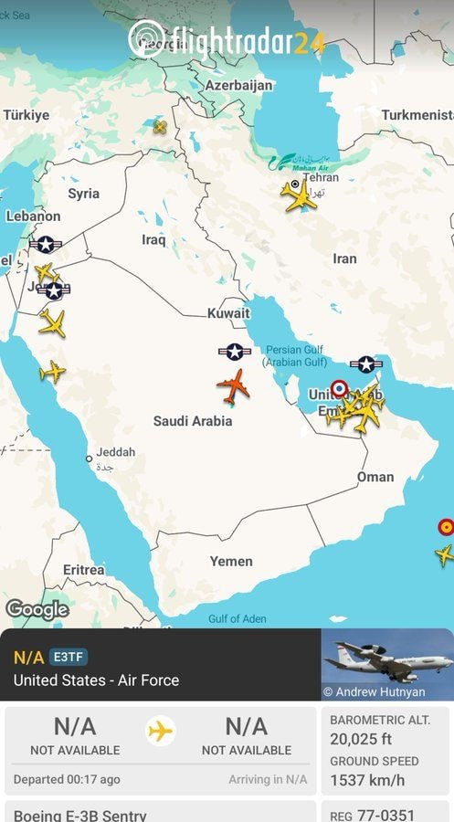
The image is a screenshot of a flight tracking map showing various aircraft icons over the Middle East. Several military aircraft icons, including US Air Force symbols, are visible over Saudi Arabia and the Persian Gulf. The map displays country borders and major cities like Jeddah and Tehran. A detailed information panel at the bottom shows a Boeing E-3B Sentry aircraft, its altitude, ground speed, and registration number. The overall mood is informational and technical, resembling a news clip or a data visualization. The "flightradar24" watermark is prominent at the top.